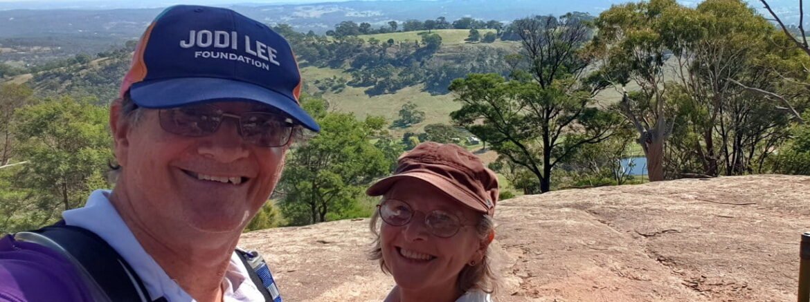
Leanganook is the Aboriginal name for the 746m high Mt Alexander overlooking Castlemaine Victoria. Trish and I were joined by my Sister Nicola for this relatively short 8.4 km but uphill hike to the summit of Mount Alexander.

Trish could only walk a short distance as our wonderful support team of one had to return to the car and reposition to Mount Alexander to pick us up.
Our starting point was to the South West of Mount Alexander at the stile over the fence at McQuillans Rd. (There is room to park here for those wishing to do a return trip). From here we follow the well marked Leanganook Track along a narrow fenced easement across farmland, over another stile and into the Mount Alexander Regional Park.


Needed a couple of stops to get our breath here
Once in the park the track is a steep zig zag climb up the western flank of Mt Alexander to our first, and very welcome, rest stop on top of the spur at Ed’s Seat. Ed’s seat is constructed from left over koala park parts and was put together by a Conservation Volunteers crew. A great place to enjoy the view to the West across huge granite slabs. The koala park is near the Southern base of Mount Alexander.

Even though well marked we did become temporarily displaced twice. We walked a kilometre of the eastern track to the Leanganook Picnic and Camping Ground track by mistake.
We also went off track where the arrow directions on the marker post were ambiguous. The track in the wrong direction here was also well worn for a couple of hundred meters or so and we turned around where all the other poor lost souls had as well. These bonus walks were not far and we easily backtracked to the correct trail.


A small part of Dogs Rocks
Huge granite tors are a feature of Mt Alexander, with a most impressive cluster at our next stop called Dog Rocks. Time for lunch and to explore around the rocks and take in the views over Harcourt. The name Dogs Rocks was given by Lockhart Morton, manager of Sutton Grange station in 1846 because of the dingo’s that came from the area. Joseph Young Drive passes close by here and it is just a short walk from the parking area.

The track then heads away from the road and roughly follows a contour line around from the West to the Northern side of mountain. We were tempted a couple of times just to go straight up but decided to stay on the track. Our final leg was below Shepherds flat and a detour off track to go past a giants seat made of rock. The seat was to big for us but still a great place to pause and take in the views. We took an Easterly course across country to regain the track for the final leg to the summit.

Giants Seat? 
We left the track where it meets the road near the prominent rock platform at Langs lookout and follow the road up to the Summit of Mount Alexander where Trish was waiting for us.


To complete the afternoon we all shared a flask of tea admiring the view to the East from Langs Lookout and headed home.
This was is more valuable training for the 80k in 2 days JLF Trek in May. The Jodie Lee Foundation mission is to raise awareness and prevention of bowel cancer. Please consider supporting me in this challenge and this great cause by clicking the link below.
https://app.jodileefoundation.org.au/events/the-jlf-trek-sa-2021/participant/steven-bennett
From our stating point the elevation gain was about 469 metres which proved to be a good cardio vascular workout with a bit of huffing and puffing and a few rests to take in the great views over the Victorian landscape.
The Leanganook Track is 61 km long and goes from Castlemaine to Bendigo it also forms part of the Great Dividing Trail network. When time permits I will head back and complete the 214 km track from Mount Buninyong to Bedigo.
The Great Dividing Trail Network is currently over 300km in length. If you would like to know more about the trail network and see maps of the trails you can go to the GDT website by clicking HERE


